3D Map Generator – Atlas – Features
17726
page-template-default,page,page-id-17726,bridge-core-2.5.6,ajax_fade,page_not_loaded,,qode-title-hidden,qode-theme-ver-24.1,qode-theme-bridge,disabled_footer_top,qode_header_in_grid,wpb-js-composer js-comp-ver-6.4.2,vc_responsive
Features – 3D Map Generator – Atlas
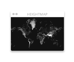
Heightmap Tools
- Extensive tools to generate and edit your own heightmap
- Up to 6000 x 6000 px heightmaps
- Heightmapper access
- 60+ heightmap brushes

- Random-Heightmaps generaor

- Add level feature

- Resize Doc function

- Additional shortcodes features

3D Map features
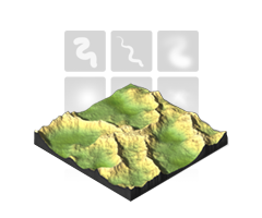
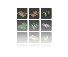
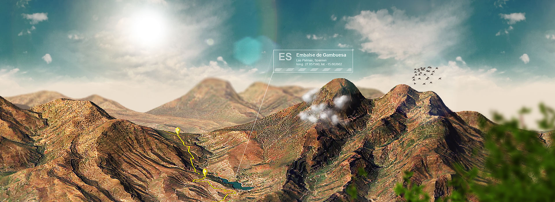
- Real 3D maps of every heightmap
- 3D Earth, Moon, Mars

- 8 isometric directions as preset
- Map height and dimension setting
- Map and light reset function
- Map reminder function
- Map Library + free examples

- Real 3D shadow
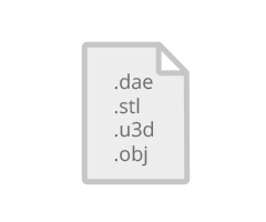
- 3D file export (DAE, STL, OBJ, U3D)
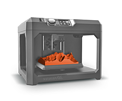
- 3D printable maps
Design Tools
- Contour lines tool
- Map edge color picker tool
- Guides tool
- Grid tool
- 16 editable gradient presets
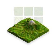
- 22 seamless textures for your own surface texture
- Auto-Texturing tool
- Different texturing brushes
- 33 background presets

Icon Library
- 100+ additional icons

- Icons Library function to add your own icons
Did you also buy our isometric icon sets? Then just select the folder „psds_single“ in the set to load the editable icons into the panel.
What you get – The Package
Package Details
- Plug-in for Mac and PC.
- Included is a manual installation set with all required functions, brushes, styles and shapes
- Additional isometric icon set as PSD, PNG and JPG
- Short instructions PDF and extensive online documetation
- Tutorial videos
- Free updates
Additional isometric Icons
- 100+ editable isometric icons and elements: Compass, distance scale, flags, labels, map shields, pins, altocumulus cloud, cirrus clouds, cumulus clouds, nimbostratus cloud, sun, whirlwind, ash cloud, bush, shark, airplane, buoy, sailing ship, fish swarm, conifers, coniferous forest, deciduous forest, fir, grass, palm trees, reed, birds, city, house, lens flares, rocks, solar panel, solar panel field, village, wind turbine, wind turbine field, car
Support
If you need any support or help: you get it! Please log in to your envato account and use the e-mail form at our profile page to contact us.
If you are reporting an issue:
- give us as much information as possible (Photoshop Version, Extension Manager Version, OS version)
- tell us what exactly you have done
- screenshots are helpful
- videos are very helpful (try this free app)

All details and purchase options can be found on our envato homepage.


