The 3D Map Editor
Shape Your World
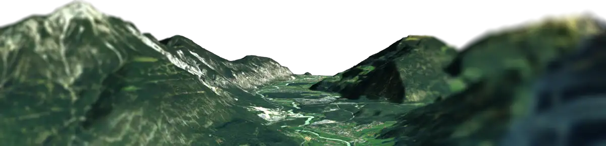
The 3D Map Editor transforms your generated terrain into a fully interactive 3D workspace powered by Babylon.js. Shape the terrain, design the environment, add data overlays, and bring your map to life. Every change happens in real time, with autosave helping to keep your latest progress safely stored.
Editing, Lighting, and Framing
Take complete control over the geometry and atmosphere of your map.
Elevation & Geometry: Exaggerate the terrain height to make topographical features pop. Apply surface smoothing to remove harsh data artifacts and adjust grid subdivision for high-end rendering.
Dynamic Lighting: Dial in the exact mood. Adjust light intensity, sun height, and rotation to cast realistic, dynamic shadows across the landscape.
Edge & Environment Design: Frame your map like a physical object. Customize the base with varying thicknesses, solid colors, or realistic bump-mapped ground textures (like soil or rock). Complete the scene by placing your map inside a 360° skybox or setting a transparent background for clean exports.
Draw Directly on the Terrain
Need custom markings that aren’t in the map data? The built-in Draw Texture Panel lets you paint directly onto the 3D surface. Use brushes, pens, and erasers to highlight specific zones, sketch out planned routes, or upload custom image files—like logos or custom markers—straight onto the terrain overlay.
3D Elements & Interactive Tours
Populate Your Map with 3D Assets & Media
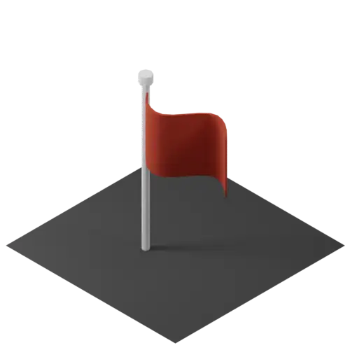
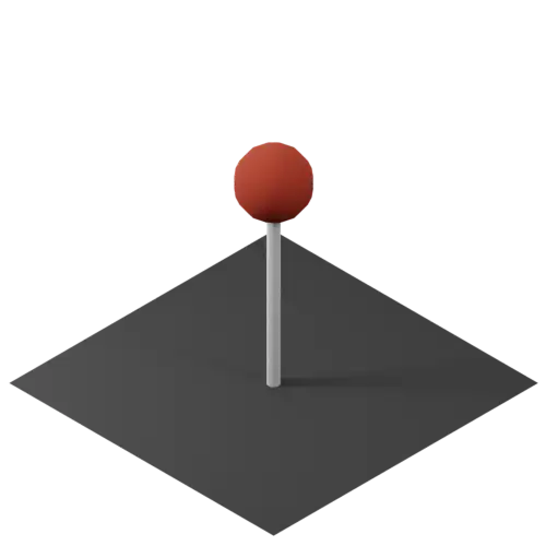
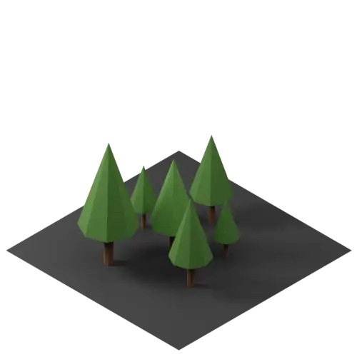
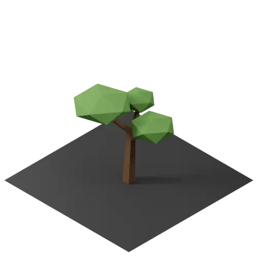
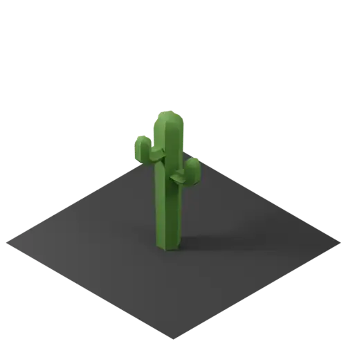
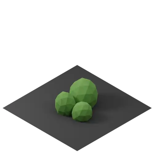
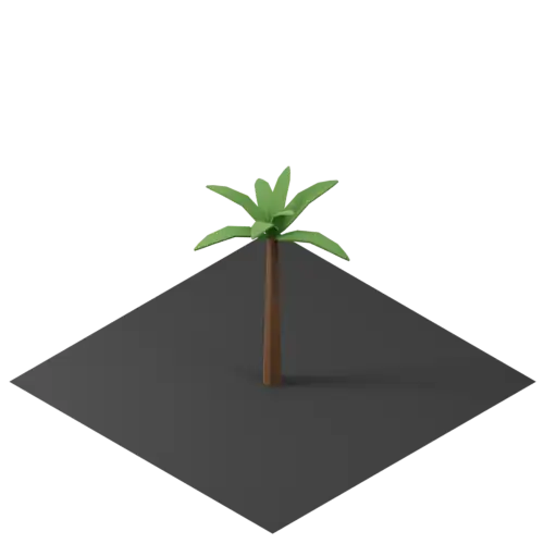
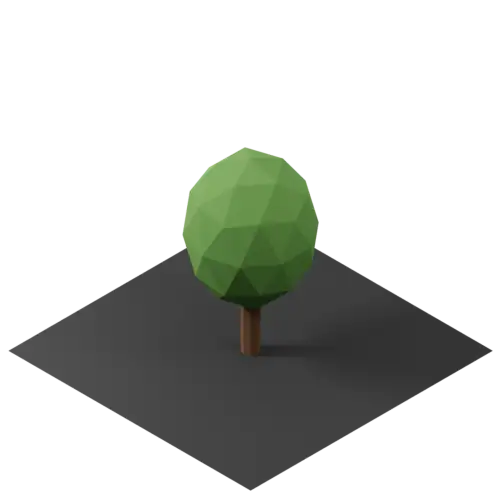
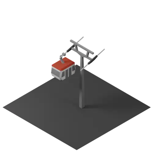
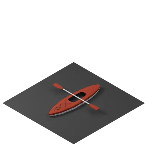
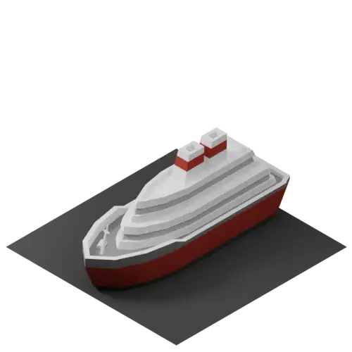
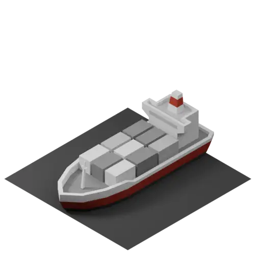
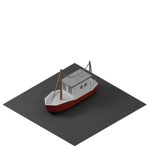
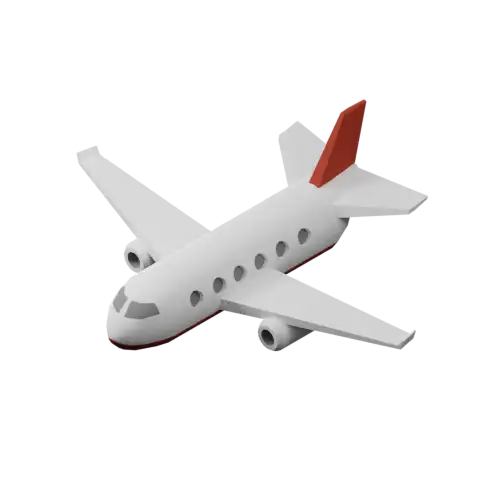
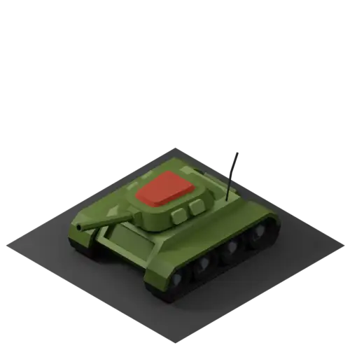
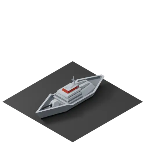
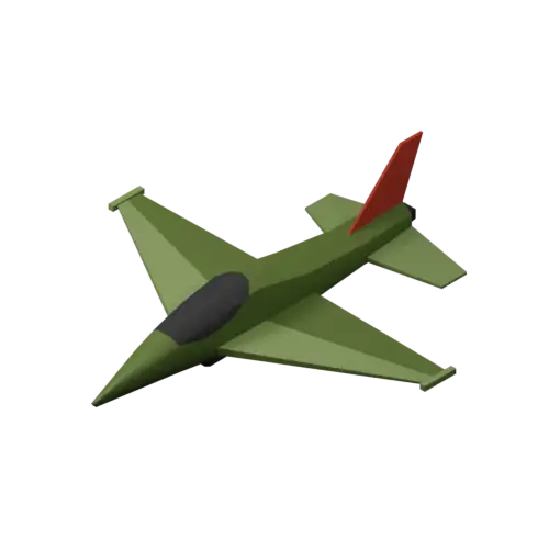
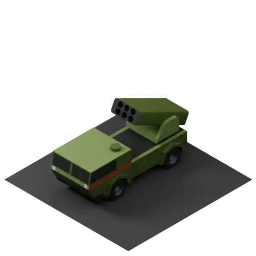
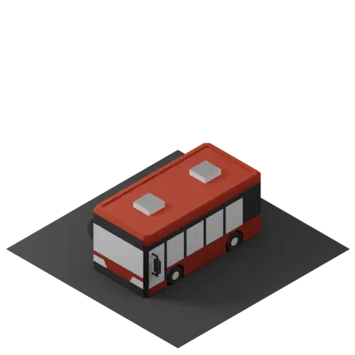
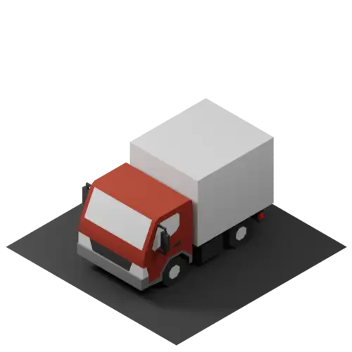
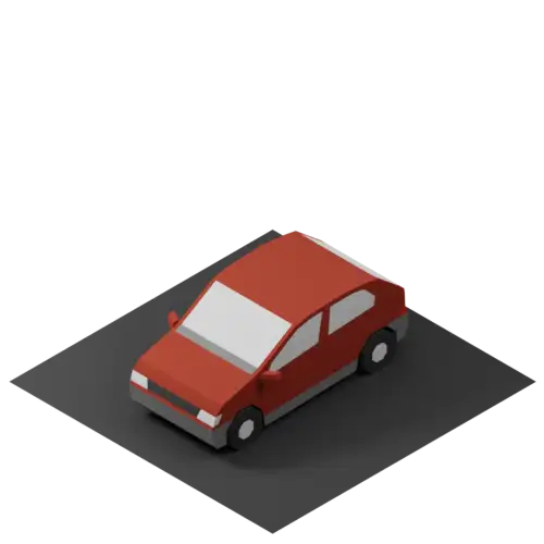
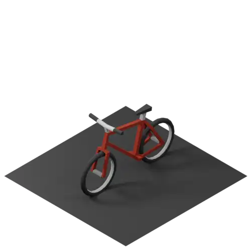
Turn a static landscape into an interactive story. Drop 3D elements—like pins, buildings, trees, or transport vehicles—onto the surface, automatically anchored to the correct terrain height. Attach rich-media popups with text, links, images, or YouTube videos to create interactive points of interest.
Create Interactive Tours
Turn selected elements into waypoints and connect them into an interactive tour across your map. With a single click on Play, the camera moves from waypoint to waypoint, guiding viewers through locations, highlights, and stories in a predefined sequence. Your tour can be played directly in the 3D viewer or exported as a cinematic video.
Add Water to Your Terrain
Bring coastal regions, islands, and mountain landscapes to life with an adjustable water layer. Raise or lower the global water level to reveal how the terrain interacts with the water surface, and adjust the wave strength to fine-tune the look of your scene.
Explore the 3D Editor in Detail
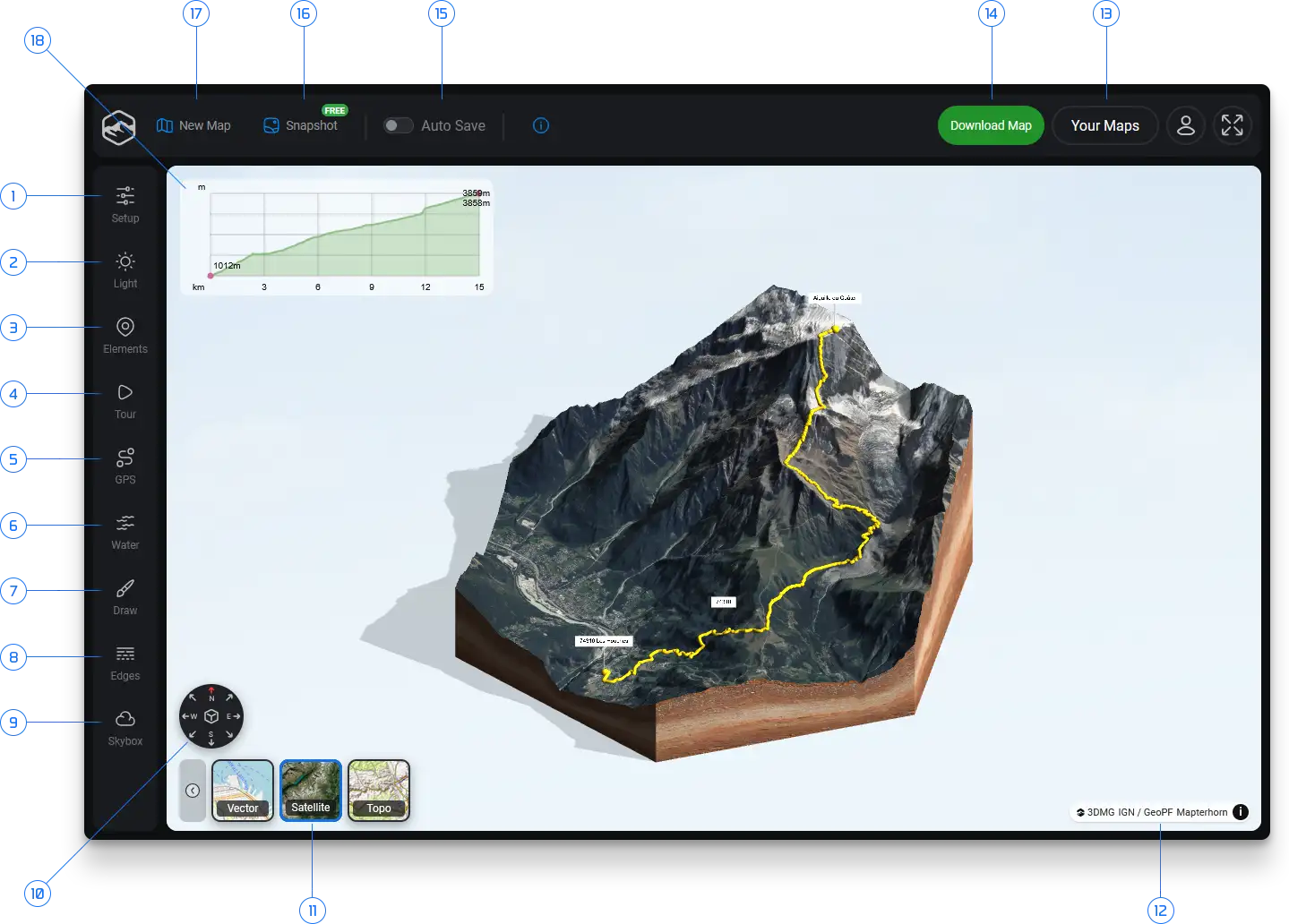
Get to know the tools that make up the 3D Editor. From shaping terrain and adjusting lighting to adding interactive elements, creating tours and customizing the look of your map — the overview below shows you where everything happens. Follow the numbered sections to explore each feature in detail.
Over 100 elements for your 3D map
Populate Your Map with 3D Assets
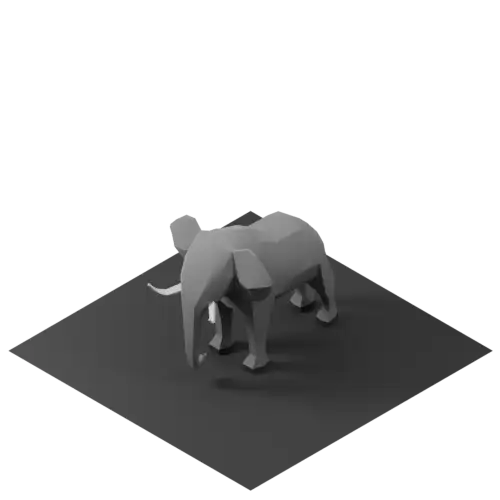
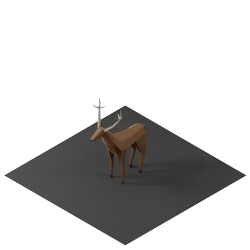
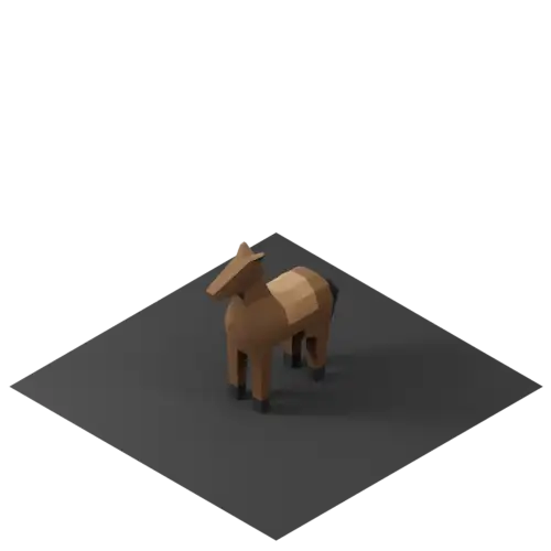
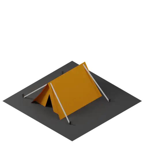
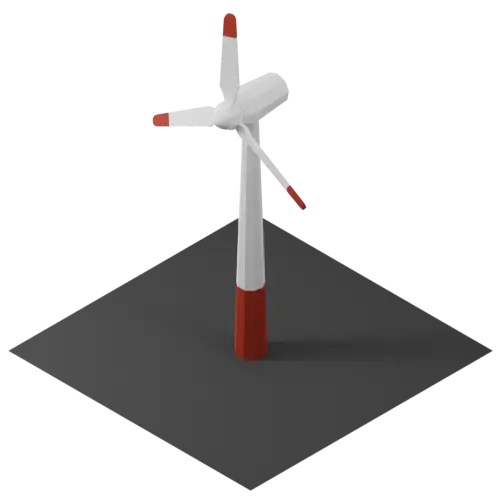
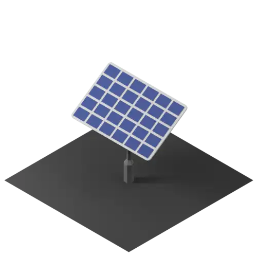
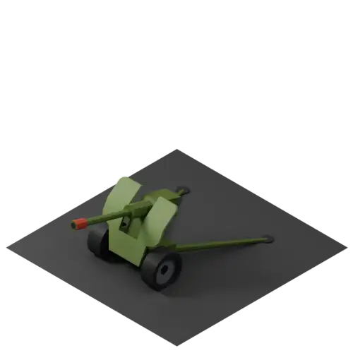
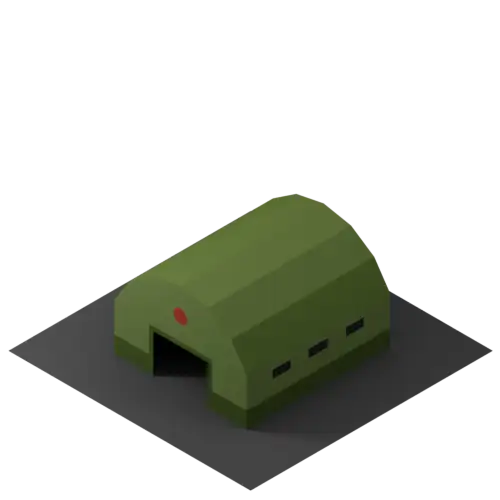
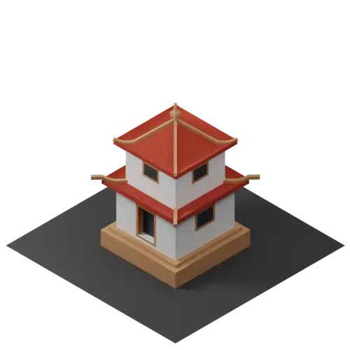
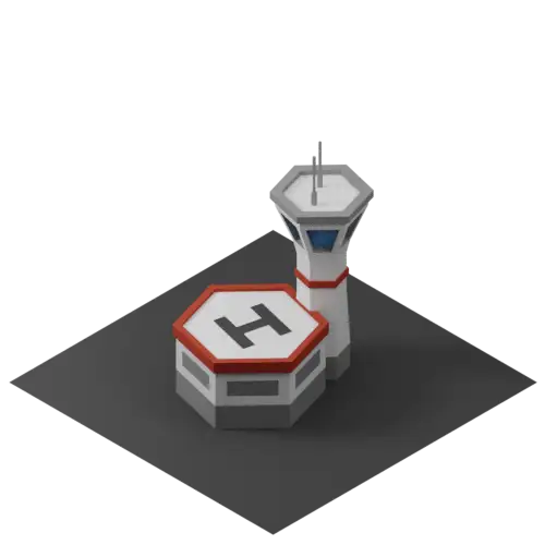
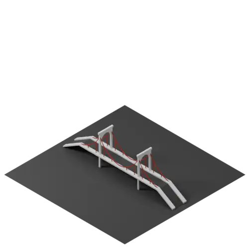
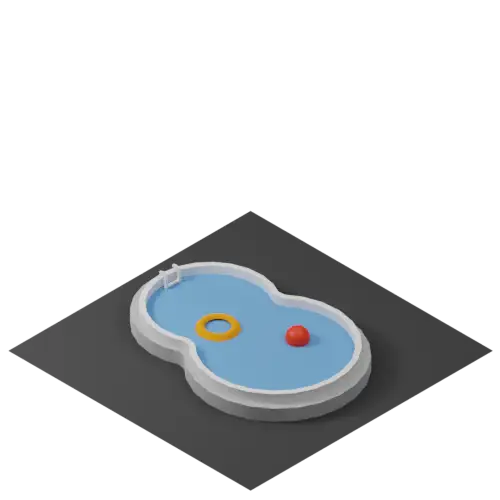
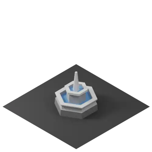
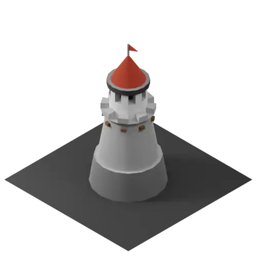
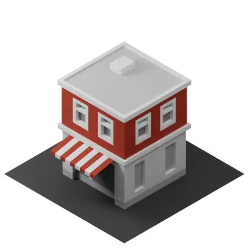
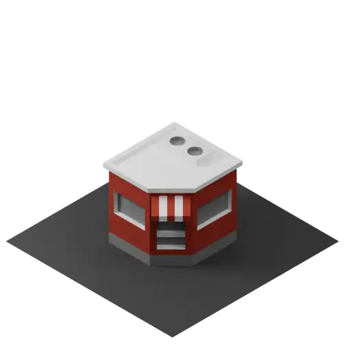
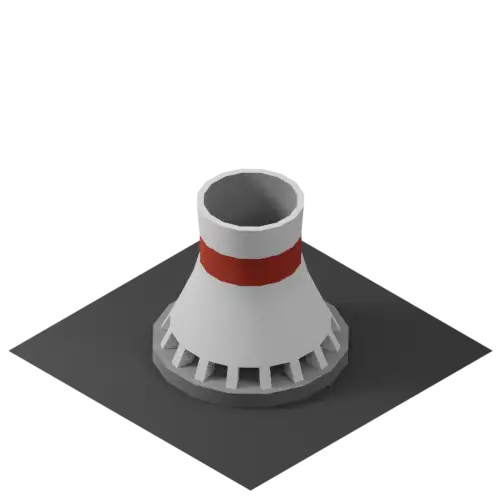
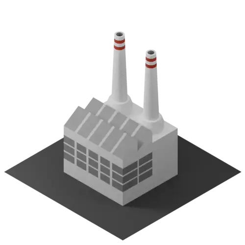
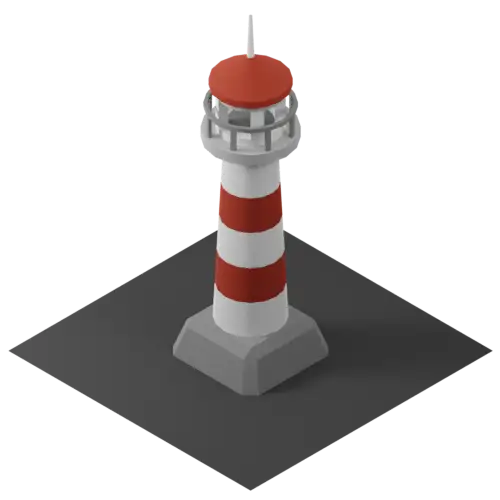
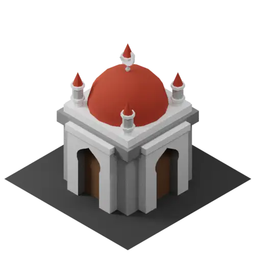
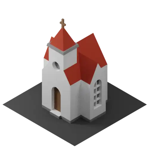
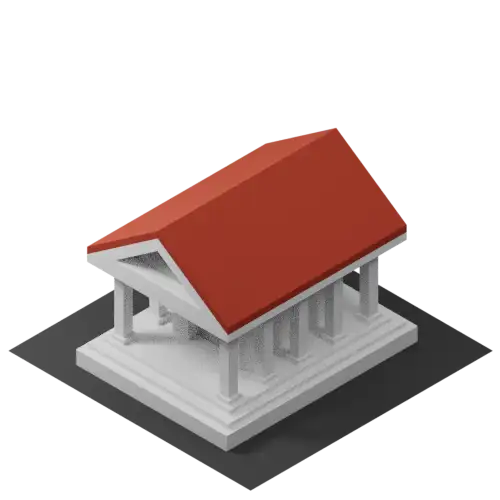
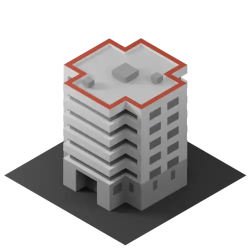
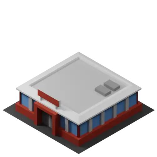
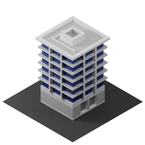
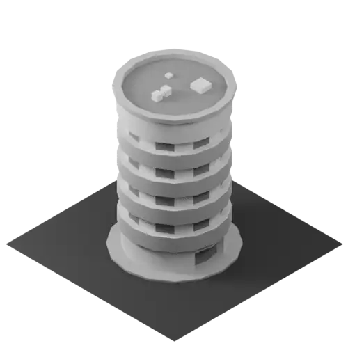
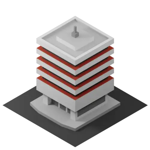
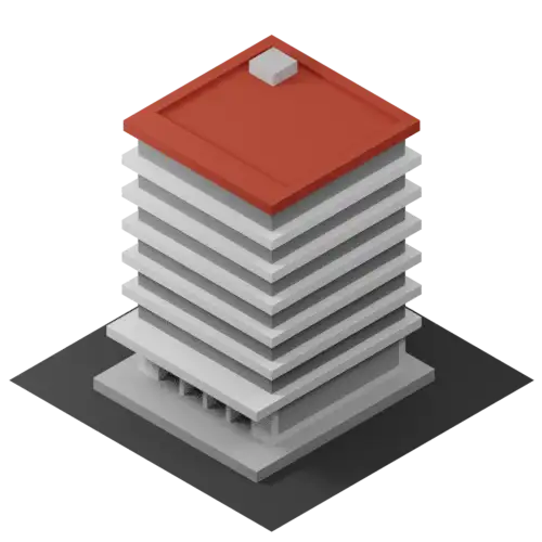
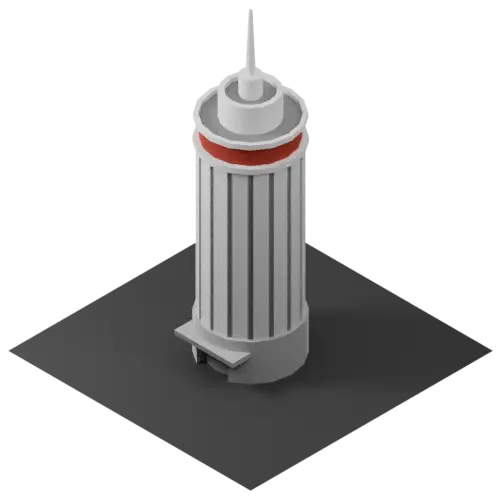
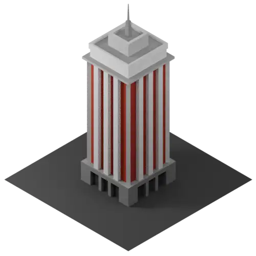
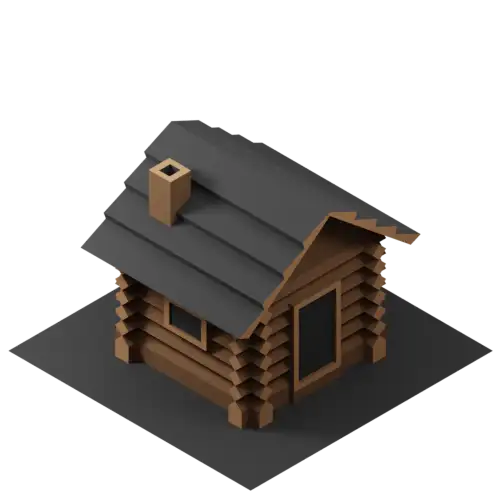
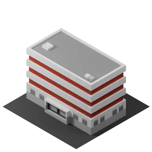
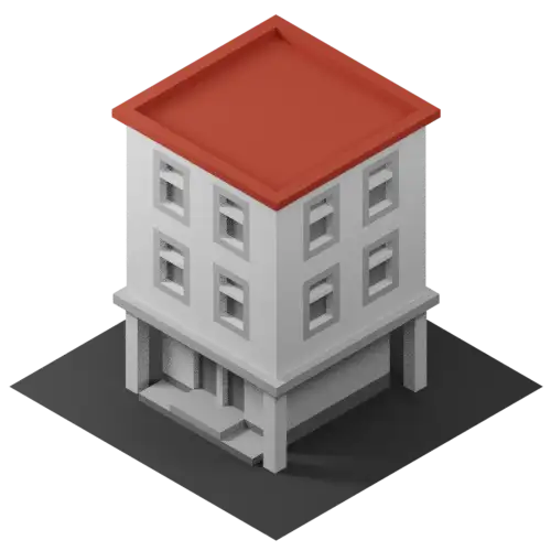
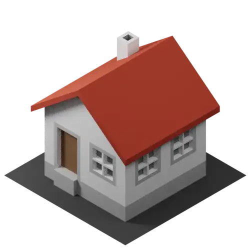
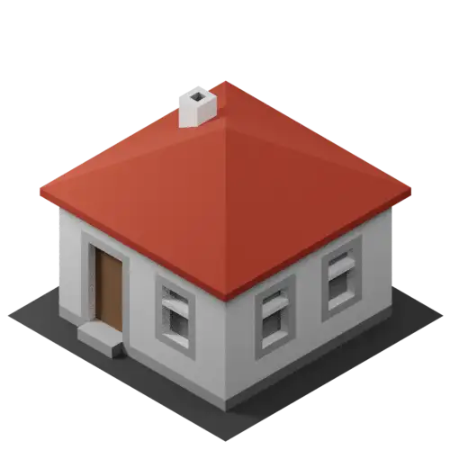
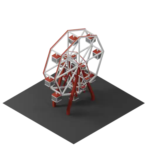
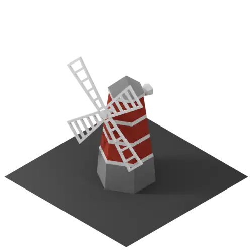
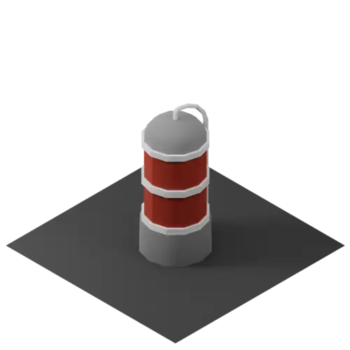
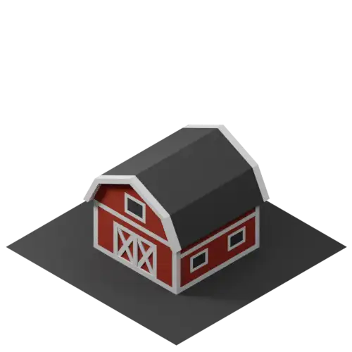
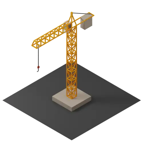
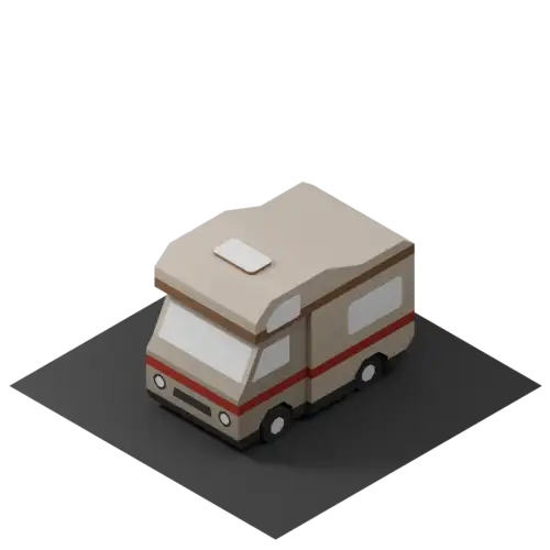
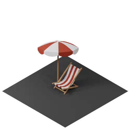
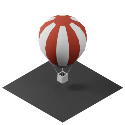
Choose from over 100 ready-to-use 3D elements to add landmarks, context, and visual details to your map. Place them anywhere on the terrain, adjust their size, position and rotation, and customize the color of supported elements to match your scene.
Turn any element into an interactive point of interest by adding a popup with a title, text, link, image, or YouTube video. Elements can also be used as waypoints for interactive tours, connecting your map’s visual details with guided storytelling.














Start by selecting your terrain in The Map Browser, customize it in the 3D Map Editor, then explore all available formats under Export & Downloads.