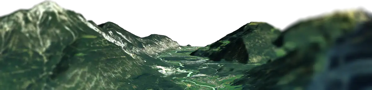
Export & Downloads
Your map isn’t locked into our ecosystem. Whether you are a 3D artist, a web developer, an outdoor enthusiast, or a content creator, we provide the exact files you need to bring your geographic data to life. Export everything from interactive web viewers to versatile 3D models, print-ready terrain, and high-resolution media.



3D Models (GLB, GLTF, OBJ)
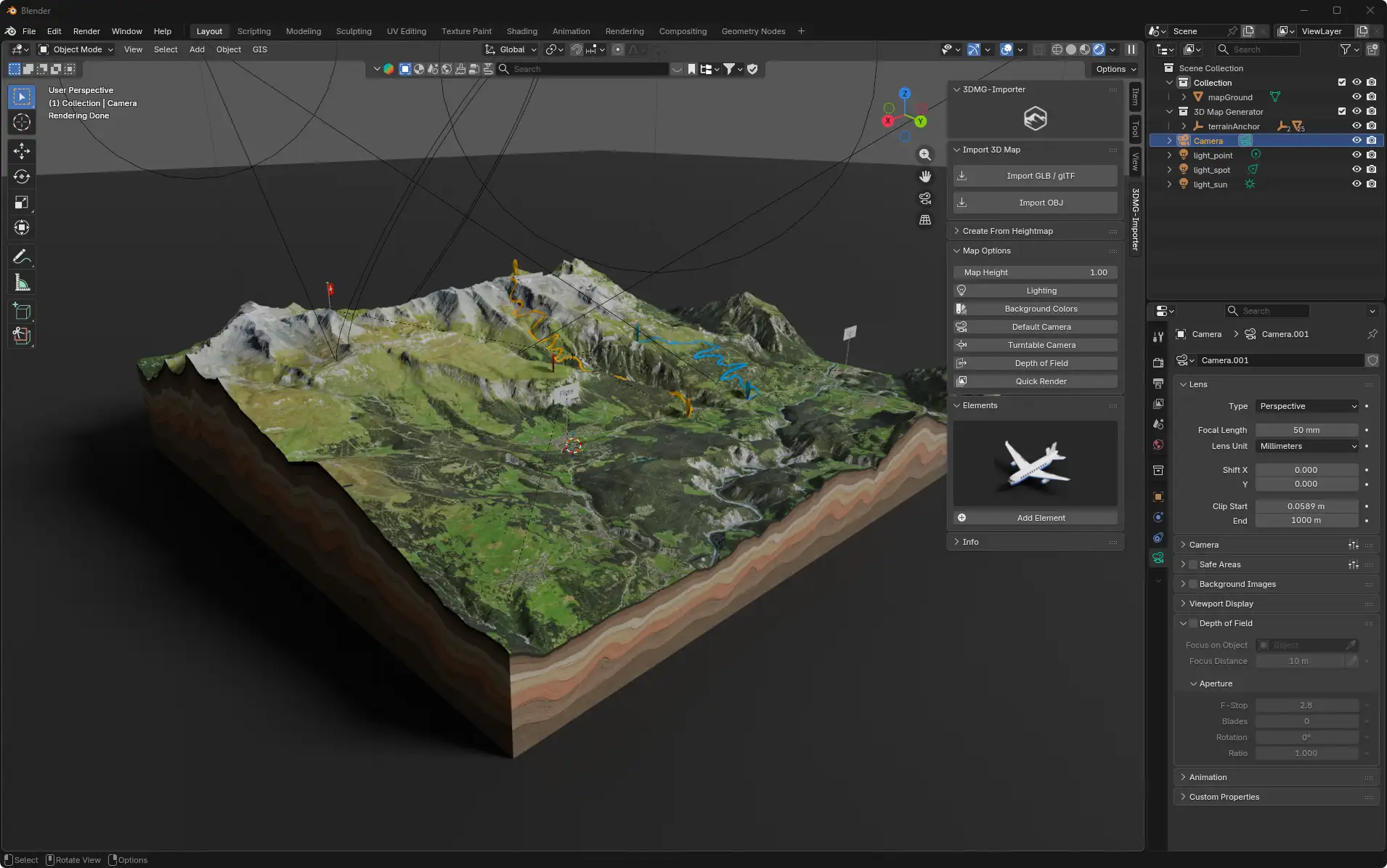
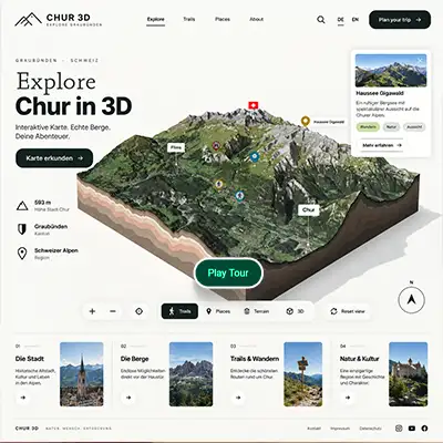
Universal 3D Assets Export your terrain in standard 3D formats including GLB, GLTF, and OBJ + MTL. Choose between lightweight models optimized for web use or high-quality geometry for rendering and further editing. Continue working with your exported map in compatible 3D software such as Blender, Cinema 4D, or other applications that support these formats. For Blender users, every purchased map includes our dedicated Blender Add-on for easy import, setup, and further editing of your 3D map.
Textures & Heightmaps
Build Your Own 3D Terrain Take your map beyond the editor with terrain data ready for custom 3D workflows. Download a high-resolution Albedo Map, a normalized 16-bit RAW Heightmap, and an automatically generated 8-bit Grayscale Displacement Map. Use the height data to recreate the terrain and apply the matching Albedo texture in game engines and 3D applications—ideal for building custom environments, game worlds, visualizations, and terrain-based projects.
Example: Terrain recreated in Unreal Engine using the exported 16-bit Heightmap and Albedo Map.
Build Your Map from Heightmap & Texture
The exported Heightmap and Albedo Map can also be used to recreate your terrain directly in Blender. Use the 16-bit Heightmap to generate the terrain geometry and apply the matching Albedo Map as its surface texture — giving you a flexible starting point for further modeling, materials, lighting, rendering, and animation.
Want an easier workflow? Our dedicated Blender Add-on simplifies the process by helping you import and set up your 3D map in Blender. The Add-on is included at no additional cost with every purchased map.
Interactive Web Viewer
Bring your 3D map directly to the web with a complete standalone viewer package. The Embed Set includes everything needed to publish an interactive map, including the viewer, map data, assets, configuration files, thumbnail, and integration examples. Enable auto rotation, camera tilt, and zoom, then let visitors explore your terrain, routes, popups, cinematic tours, elevation profiles, and other interactive content directly in their browser. Designed for easy iFrame integration and WordPress workflows. Every download also include our dedicated WordPress Plugin at no additional cost, making it easy to upload, manage, and embed your interactive 3D maps directly in WordPress.
3D Print Files

Ready-to-Print Topography
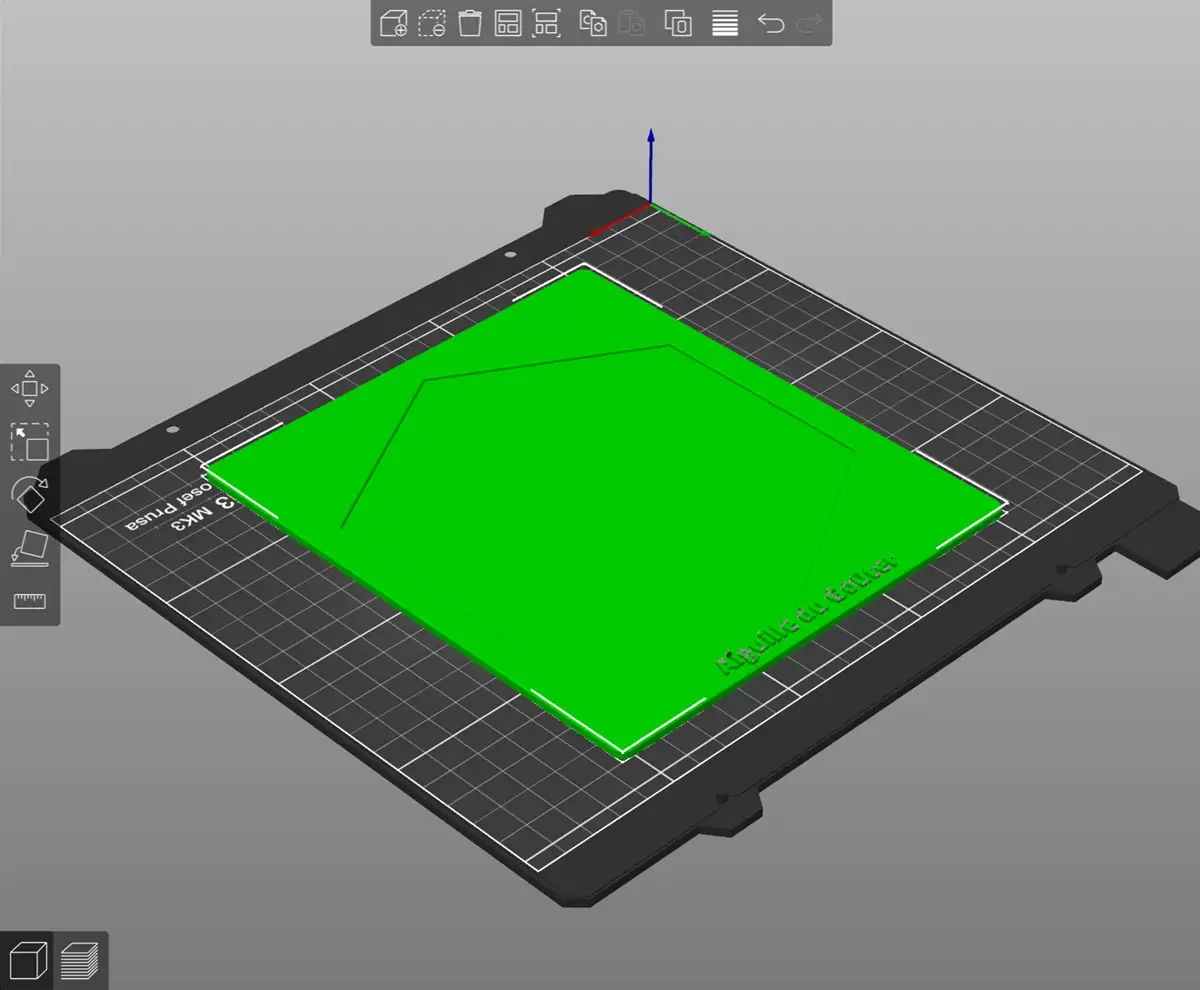
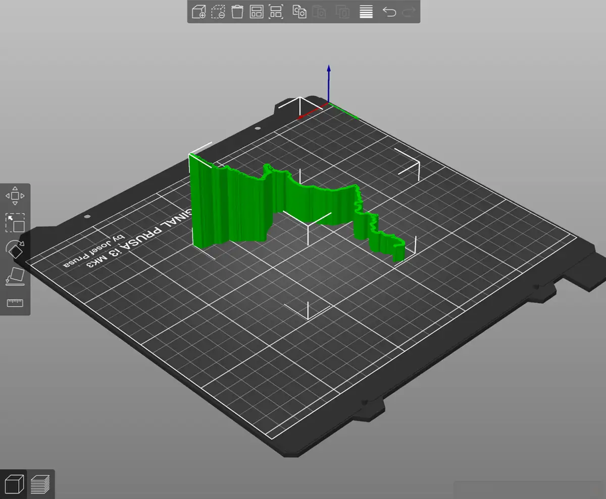
Transform real-world terrain into a physical 3D map with STL and 3MF export. Create a solid terrain model designed for 3D printing, define the final print size from 5 to 40 cm, and customize the platform with your own text.
Export the terrain, GPS path, platform, and custom text as individual STL or 3MF files, or as one combined model—ideal for personalized prints and multi-part projects.

High-Resolution Images
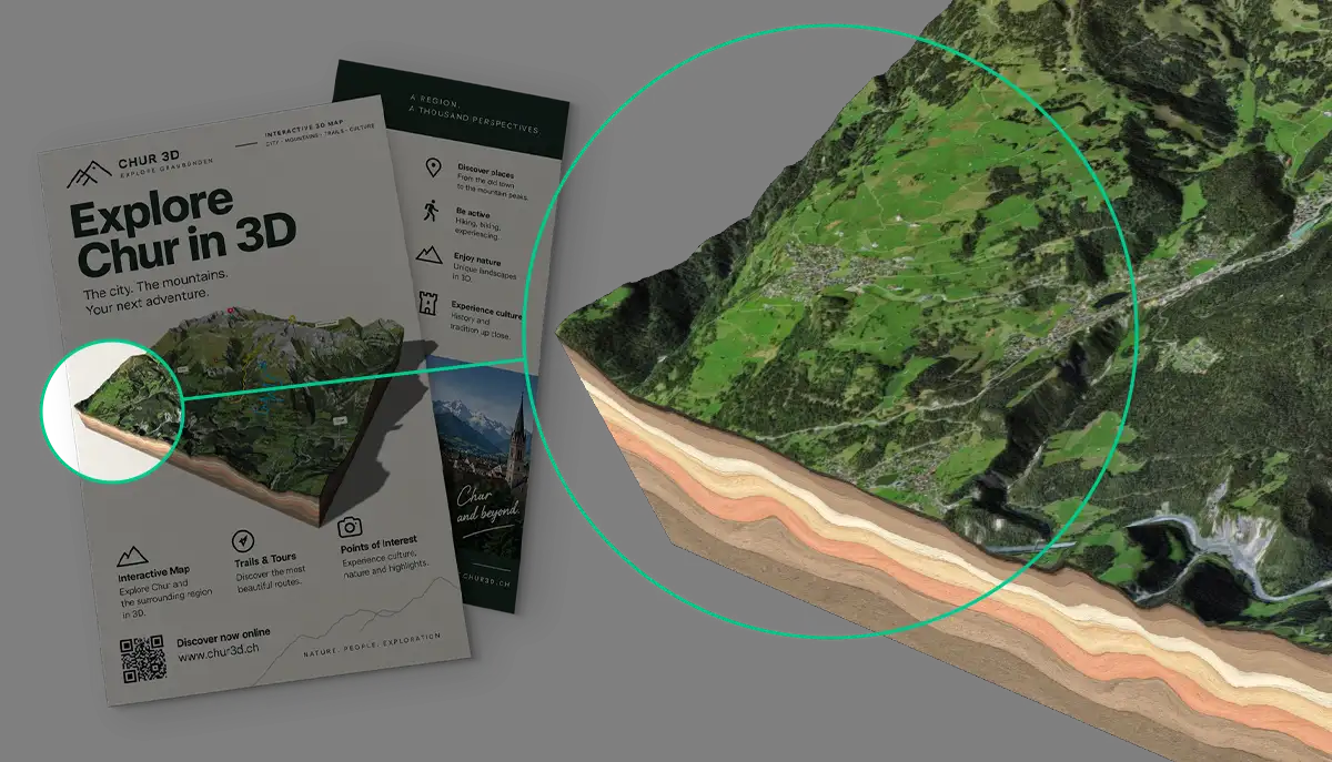
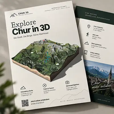
Turn your finished 3D map into a high-resolution image ready for print and design. Export the current view at over 4K resolution, preserving your lighting, terrain styling, routes, overlays, and other visual details from the editor. Choose a transparent background for easy use in layouts and compositions, and export with or without shadows. Ideal for flyers, posters, brochures, presentations, social media, and other print or digital design projects.
Animated 3D Map Videos
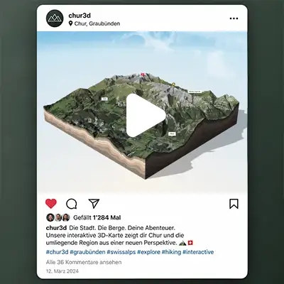
Create animated videos directly from your 3D map for social media, websites, and presentations. Choose between a 360° rotation, a 180° camera pan, or turn your custom waypoint tour into a video. Select from 16:9, 1:1, 4:5, or 9:16 aspect ratios—ideal for sharing on Instagram, Facebook, TikTok, Reels, Shorts, and other digital channels. Adjust the video quality, duration, and camera motion to create an export that fits your project.
Video formats: WebM is available in supported browsers. MP4 export requires Google Chrome.
Start by selecting your terrain in The Map Browser, customize it in the 3D Map Editor, then explore all available formats under Export & Downloads.